Tourism

Illam

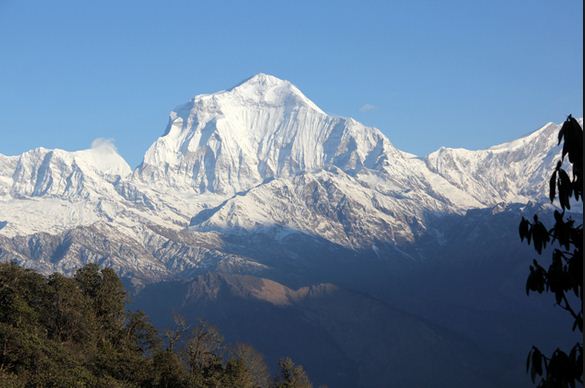
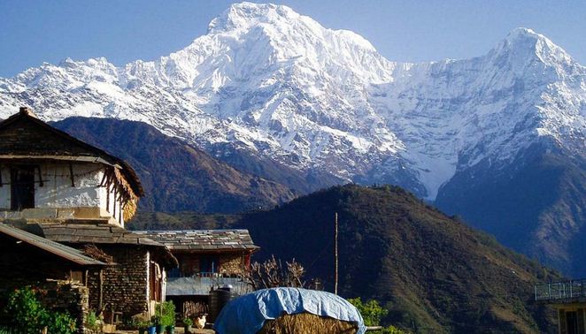
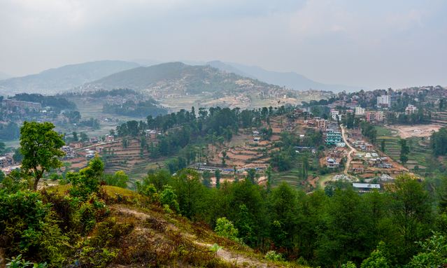
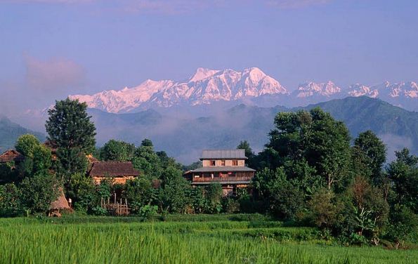
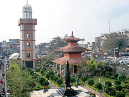
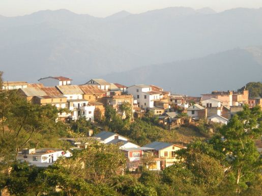
Country: Nepal Zone: Mechi District: Illam Coordinates: 26°54’30”N 87°55’35”E Illam is the District headquarters, about 600 km from Kathmandu. It is a Hill district in Eastern Nepal. The District covers 1703 sq km. The name illam is derived from the comparision of two words ‘I’ and ‘lam’. In Limbu language the word ‘I’ means ‘winding’ and ‘lam’ denotes to ‘the …

Read More »

Everest Base Camp

Location: Nepal District: Solukhumbu Zone: Sagarmatha Elevation: 8848 metres Coordinates: 27°59’17”N 86°55’31”E Mount Everest lies between Nepal and Tibet. It is Himalaya Mountain Range which stretches 1500 miles from Northeastern Pakistan to Bhutan. There are over thirty mountains higher than 25000 feet of the fourteen 8000 m peaks. In 1841, a Britist surveyor named sir George Everest identified the location …

Read More »

Ghorepani Hill

Country: Nepal Zone: Dhaulagiri District: Myagdi Coordinates: 28°23’55”N 83°41’57”E Ghorepani is located in the Myagdi District of Nepal. It is one of the most popular village for trekking in Nepal. Leading to the nomenclature Ghorepani is the place used to be a rest stop where ancient traders found water for their horse. It is situated at an approximate altitude of …

Read More »

Ghandruk

Country: Nepal Zone: Gandaki District: Kaski Coordinates: 28.377°N 83.807°E Ghandruk is in Kaski District of Nepal. It is in the Gandaki Zone of Northern Central Nepal. Ghandruk is a popular place for treks in the Annapurna Range of Nepal. The name Ghandruk is originated from Konraa which means uphill settlement. The word is set as Ghandruk. Ghandruk is a small …

Read More »

Dhulikhel

Country: Nepal Zone: Bagmati District: Kavrepalanchowk Coordinates: 27°37’N 85°33’E Dhulikhel is the place which lies in the kavrepalanchowk District of Nepal. It lies in Bagmati Zone. It is located at the Eastern rim of Kathmandu. Dhulikhel is located on the hilltop at 1700 metres. It is one of the most popular places to observe the high Himalaya. Dhulikhel is a …

Read More »

Besisahar

Country: Nepal Zone: Gandaki District: Lamjung Elevation: 760 m Region: western Coordinates: 28°13’52”N 84°22’39”E Besisahar is a municipality and a district headquarters of lamjung district. It is located in Gandaki zone. Besisahar is a small village in the Lamjung District of Nepal. Situated at an altitude of 1600 meters above the sea level, Besisahar unfolds the panoramic view of gigantic …

Read More »

Dharan

Dharan Country: Nepal Zone: Koshi District: Sunsari Total Area: 192.61 sq km Development Region: Eastern Coordinates: 26.7944° N, 87.2817° E Dharan is situated in the Eastern Development Region of Nepal. It is in the Sunsari District, and is located in the Mahabharat Range. It was once the location of a recruitment centre for the brigade of Gurkhas. Dharan is the …

Read More »

Garden of Dream

Country: Nepal Location: Kathmandu Area: 6895 sq m Coordinates: 27°42’51”N 85°18’53”E Garden of dream is in the midest of Kathmandu city. The garden of dream was built in 1920. The garden was made famous as the garden of six seasons created for field Marshal Kaoser Sumsher Rana. The size of the garden is 6895 square meter. The Garden of Dream …

Read More »

Dingboche

Country: Nepal Zone: Sagarmatha District: Solukhumbu Region: Khumbu Elevation: 4410m Coordinates: 27°53’N 86°49’E Dingboche is situated in the Solukhumbu District of Nepal. It lies in the Sagarmatha Zone. It is a very beautiful place to visit. Dingboche a small village in the Khumbu region of North Nepal is one of the unspoiled and rare places where one can find the …

Read More »

Dhankuta

Country: Nepal Zone: Koshi District: Dhankuta Religions: Hinduism, Buddhist and Kirat Government Type: Dhankuta Municipality Government of Nepal Coordinates: 26°59’0”N 87°20’0”E Total area: 892 sq km Dhankuta lies in the Eastern part of Nepal. It is a Hill Town which one can enjoy the beauty of the place. Dhankuta Bazaar is on the North South Koshi highway. It is the …

Read More »